
Your place’s disaster history
Choose a place. Explore its documented events by year, season and type.
↗MAPIFYSTATS / DISASTERS & EXTREME WEATHER
Follow documented storms, flood reports and earthquakes through place and time.
Your place’s disaster history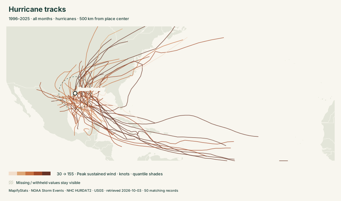
SIX WAYS INTO THE ATLAS
Choose a place. Read the record. Take the map with you.
Choose a place. Explore its documented events by year, season and type.
↗Follow storm centers, changing intensity and recorded closest approaches.
↗Explore reported tornado paths, ratings and hail sizes.
↗Explore flash, river and coastal flood reports and their documented impacts.
↗Explore recorded epicenters, magnitudes, depths and nearby events.
↗Compare places over the same reporting years and event types.
↗PLACES & STORIES
176 substantive profiles. Every covered place remains searchable in the explorers.
READ THE RECORD
NOAA Storm Events · NHC HURDAT2 · USGS · retrieved 2026-10-03
NOAA weather coverage uses 1996–2025 for general event types, with tornado histories back to 1950. County (C) and forecast-zone (Z) records stay separate. County comparisons count only county-assigned reports; state histories also include forecast zones. A report count measures documentation, not a probability of future loss. Narrative text is excerpted at 1,600 characters; original records remain linked.
Radius searches include only records with usable positions, and tornado distance uses the reported endpoint segment. No missing location is invented. Some NOAA reported start dates differ from their annual source file; the reported date is retained. Property/crop damage is nominal source-year dollars. Missing estimates differ from zero; totals must be read with reporting coverage.
NHC tracks show storm centers and recorded fixes, not swaths of damage. Closest approach uses great-circle segments between fixes. Landfalls count L-marked fixes. USGS earthquakes cover magnitude 2.5+ within longitude −180 to −60, latitude 15 to 75, 1970–2025; this includes neighboring countries and offshore events. Historical completeness and preferred magnitudes vary. No live warnings are provided.
NOAA Storm Events · NHC HURDAT2 · USGS catalog · Existing county hail resource →